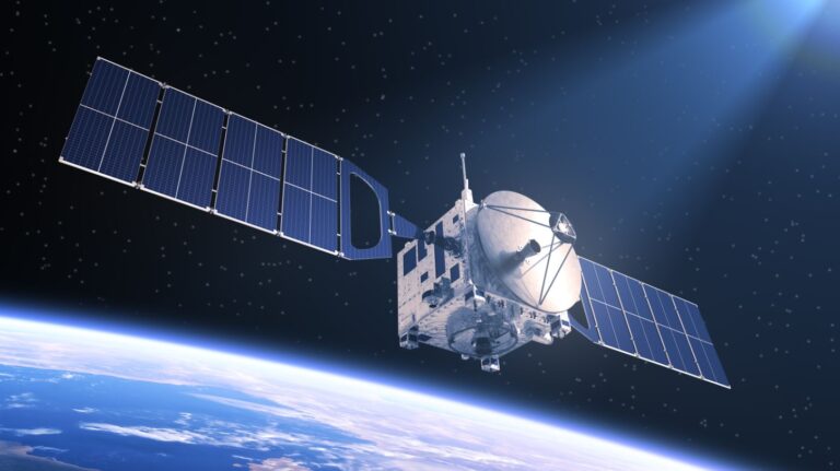
A team of researchers from the University of Oxford have trained a machine-learning (ML) model on board a satellite in outer space for the first time.
Data collected by remote-sensing satellites is used across a range of important applications, including aerial mapping, weather prediction and monitoring environmental changes like deforestation.
Most satellites can only passively collect data, rather than make decisions or complete on-board analysis. This means it then needs to be sent back to Earth for processing, which can take hours or days, delaying response time to rapidly emerging events like natural disasters.
The team, led by PhD student Vít Růžička from the Department of Computer Science, hope the project’s findings could improve remote-sensing capabilities in satellites by enabling real-time monitoring and decision-making for a range of onboard tasks.
This could revolutionise real-time sensing and monitoring capabilities of current satellites, the team said.
Růžička explained that the model developed, called ‘RaVAEn’, “first compresses the large image files into vectors of 128 numbers” and then, during the training phase, the model learned “to keep only the informative values in this vector”. This means it only preserved values related to the change it is trying to detect, such as whether a cloud is present or not.
The result was an “extremely fast training” phase, due to having only a very small classification model to train.
Typically, developing an ML model requires several rounds of training, using the power of several linked computers. In contrast, the team’s smaller model reportedly completed the training phase, which involved more than 1,300 images, in approximately one and a half seconds.
Professor Andrew Markham, who supervised the research, said: “Machine learning has a huge potential for improving remote sensing – the ability to push as much intelligence as possible into satellites will make space-based sensing increasingly autonomous.
“This would help to overcome the issues with the inherent delays between acquisition and action by allowing the satellite to learn from data on board. Vít’s work serves as an interesting proof-of-principle.”
Performing machine learning on-board satellites could also address the issue of sensors being affected by the harsh environmental conditions, which means they require regular calibration.
Instead, the team’s proposed system could be used in satellite confirmations and information from one satellite can be applied to train the rest of that swarm.
One use for this network system could be the recalibration of sensors that have degraded or experienced rapid environmental changes.
The RaVAEn project was completed alongside the European Space Agency (ESA) via the Cognitive Cloud Computing in Space (3CS) campaign and the Trillium Technologies initiative Networked Intelligence in Space (NIO.space), as well as with partners at D-Orbit and Unibap.


