A drone that can map the spread of wildfires has been developed by Robotto, a start-up company spun out of Aalborg University, Denmark.
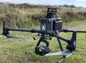
The team of four engineers, specialised in robotics and AI, has created a flexible drone platform to speed up the data collection process and therefore assist firefighters by proving an overview of the location, direction and spread of the fires.
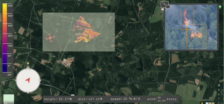
According to the team, the current use of helicopters and satellites can be improved upon by using its Autonomous Wildfire Recognition and Analytics (AWRA) drone, which transfers the data it collects autonomously onto a map, providing both optical and thermal images of the affected area.
This is said to increase firefighters’ chances against a wildfire by providing situation awareness.
Data streaming enables the map and video to be shared with responders’ headquarters and ensures that the team is updated on the current situation.
The platform also allows users to highlight an operational area the firefighters will control when the drone leaves the search area.
The drone was recently tested in Barcelona by GRAF firefighters in a controlled forest fire.

